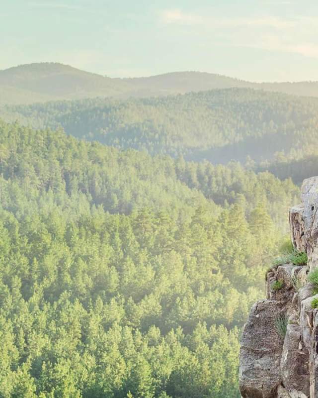
Top 10 Hiking Trails
One of the best ways to reconnect with family, friends, or even with yourself is to be surrounded by nature - and thankfully our area has no shortage of that. With so many places to explore, selecting the right trail can be an overwhelming task. To start you off on the right foot, we’ve gathered the top ten hiking trails in our area based on local trail experts from Trail Addict!
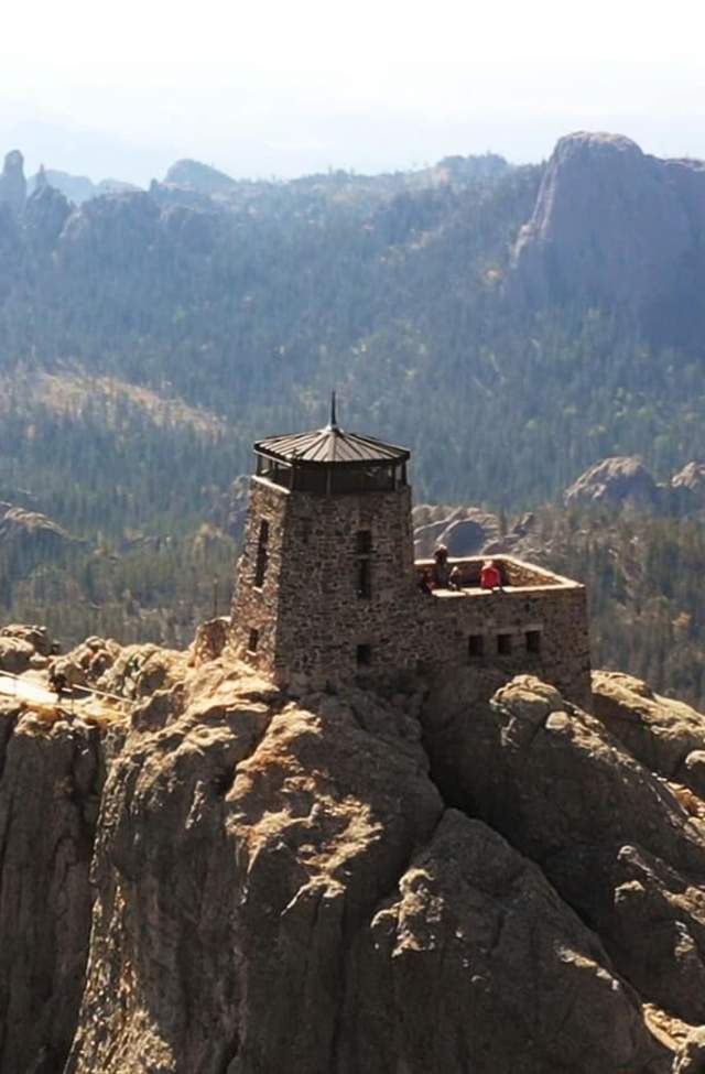
1 - Black Elk Peak
Black Elk Peak is not only the highest natural point in South Dakota and the Black Hills, but is the highest summit between the Rocky Mountains and the Swiss Alps, standing at 7,242 feet. Formerly named Harney Peak, it was renamed in 2016 by the U.S. Board on Geographic Names to recognize the importance of this summit to Native Americans. While there are a few trail options to choose from that lead to the top, the most commonly used is trail #9 which is a 6.4-mile loop that starts by Sylvan Lake. Hikers are rewarded with stunning views of Black Elk Wilderness during this hike and can explore a stone-built fire lookout tower at its summit.
- Trail Type: Loop
- Distance: 6.4 miles
- Difficulty: Moderate
- Location: Custer State Park
- Drive from Downtown Rapid City: 1 hour and 4 minutes
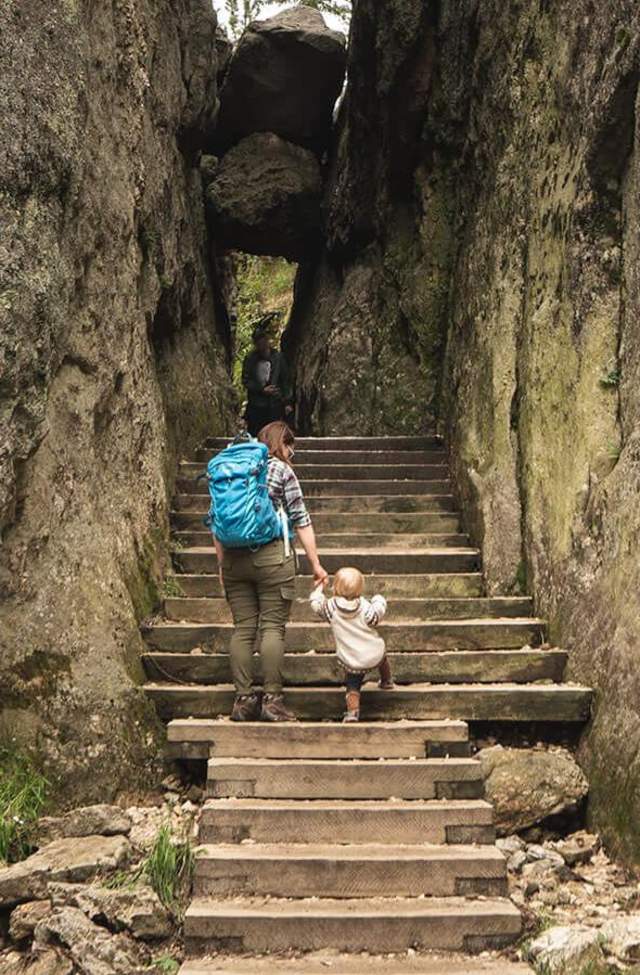
2 - Sunday Gulch
Explore behind the crown jewel of Custer State Park, Sylvan Lake, when hiking Sunday Gulch. This 3.9-mile loop hits on every level of difficulty featuring leisurely strolls, uphill climbs, and boulder scrambling. Pro tip: If you take the trail counterclockwise, you will start with a climb down the rocks instead of climbing up them.
- Trail Type: Loop
- Distance: 3.9 miles
- Difficulty: Hard
- Location: Custer State Park
- Drive from Downtown Rapid City: 1 hour and 3 minutes
*The Sunday Gulch Trail is temporarily closed for trail improvements, expected to be completed early summer 2025.
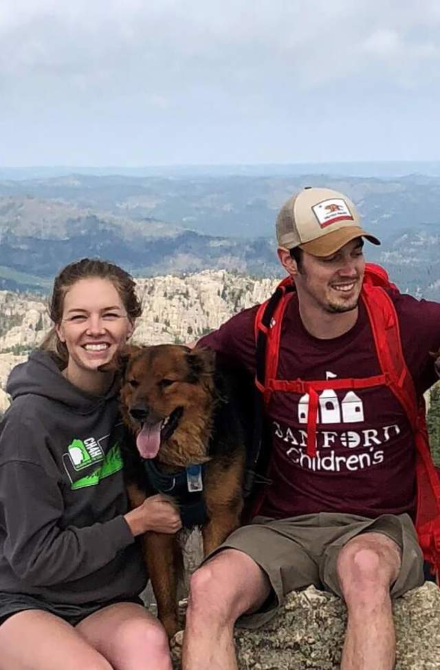
3 - Little Devils Tower Trail
Little Devil’s Tower is a moderately difficult 2.97-mile hike that leads to a spectacular view point overlooking Custer State Park. Spot the Cathedral Spires and the look-out tower of Black Elk Peak easily from the summit. This hike can be challenging for some due to the rock scrambling towards the end of the trail that is required to get to the top.
- Trail Type: Out and Back
- Distance: 2.97 miles
- Difficulty: Moderate
- Location: Custer State Park
- Drive from Downtown Rapid City: 1 hour and 4 minutes
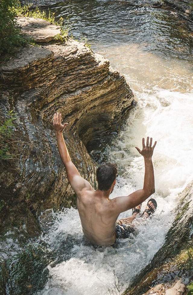
4 - Devil's Bathtub
Hiking through this limestone corridor is fun for all ages. Located in Spearfish Canyon, this 1.1-mile hike features multiple shallow creek crossings and takes hikers to pools of crystal clear water perfect for cooling off. This trail is rated moderate due to the smooth, slippery rock surfaces hikers will need to walk on to get to the end.
- Trail Type: Out and Back
- Distance: 1.1 miles
- Difficulty: Moderate
- Location: Spearfish Canyon
- Drive from Downtown Rapid City: 58 minutes
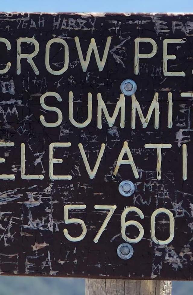
5 - Crow Peak
At the summit of Crow Peak, hikers are rewarded with clear views for miles. Relax at the top while looking for the iconic formations of Bear Butte, Terry Peak, Lookout Mountain, and more. Shadowing the city of Spearfish, this steadily inclining trail gains approximately 1,600 feet in elevation and is surrounded by lush terrain.
- Trail Type: Out and Back
- Distance: 6.4 miles
- Difficulty: Moderate
- Location: Black Hills National Forest
- Drive from Downtown Rapid City: 45 minutes

6 - Lover's Leap
For a trail that features a little bit of everything, head to Lover’s Leap in Custer State Park. This 4.2-mile loop takes hikers through the forest, alongside a creek, and features a hillside climb with an outstanding view. Keep an eye out for mountain goats which are commonly spotted among the rocks of this trail.
- Trail Type: Loop
- Distance: 4.2 miles
- Difficulty: Moderate
- Location: Custer State Park
- Drive from Downtown Rapid City: 41 minutes
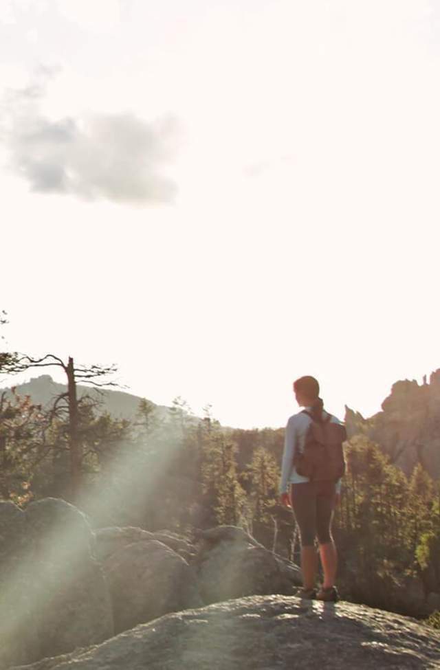
7 - Cathedral Spires Trail
Don’t just drive through Needles Highway, get out and experience these magnificent rock formations up close. The Cathedral Spires Trail is short 1.8-mile out and back trail where hikers will find themselves in a valley surrounded by these stunning granite pillars.
- Trail Type: Out and Back
- Distance: 1.8 miles
- Difficulty: Moderate
- Location: Custer State Park
- Drive from Downtown Rapid City: 1 hour and 11 minutes

8 - Buzzard's Roost
Looking for a quick hike close to town that holds outstanding views of the Black Hills? Head to Buzzard's Roost. This 3.3-mile loop is only a short 14-minute drive from Downtown Rapid City. After a steady incline, hikers can enjoy views overlooking the Black Hills National Forest in every direction.
- Trail Type: Loop
- Distance: 3.3 miles
- Difficulty: Easy
- Location: Black Hills National Forest
- Drive from Downtown Rapid City: 14 minutes
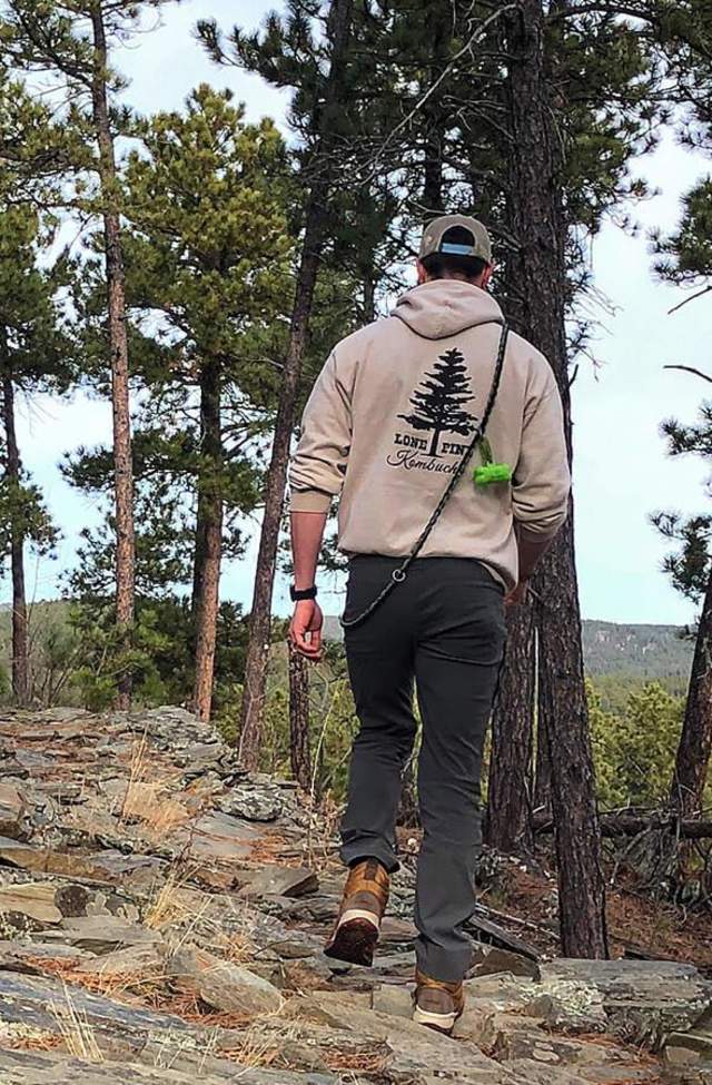
9 - Flume Trail
Flume Trail is a total of 12.4-miles that takes you back in time to the mining boom of the 1880s starting near Sheridan Lake and ending near Rockerville. However, you can take the trail piece by piece exploring different parts. Explore Coon Hollow (3.48-mile loop), the tail end of the trail near Rockerville (pictured above) or journey through historic tunnels on the Spring Creek Loop (2.7-mile loop) section near Sheridan Lake.
- Trail Type: Point to Point
- Distance: 12.4 miles
- Difficulty: Moderate
- Location: Black Hills National Forest
- Drive from Downtown Rapid City: 37 minutes
 ©Kathy Pelofske
10 - Stratobowl Rim Trail
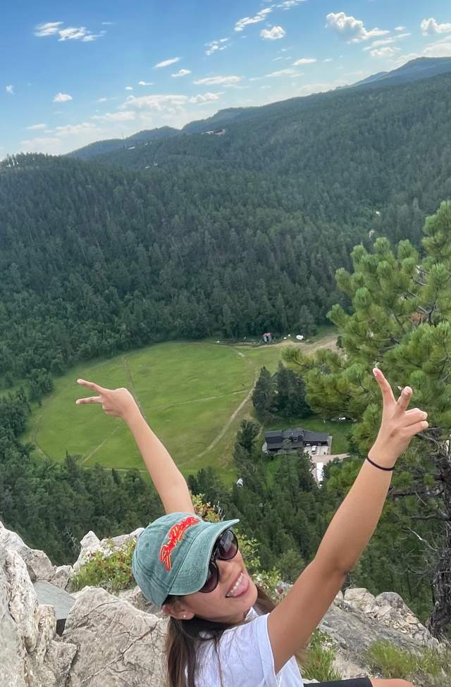
Only 14 minutes from Downtown Rapid City, hikers can surround themselves in the beauty of the Black Hills with a relaxing walk along the Stratobowl Rim Trail. This easy 1.7-mile out and back trail overlooks the historical spot where the Army Air Corps and National Geographic Society launched manned balloon flights to a record breaking 72,395 feet in 1935.
- Trail Type: Out and Back
- Distance: 1.7 miles
- Difficulty: Easy
- Location: Black Hills National Forest
- Drive from Downtown Rapid City: 14 minutes
